ONE’s component GPS mapping functionality enables components to be displayed on satellite or street level maps.
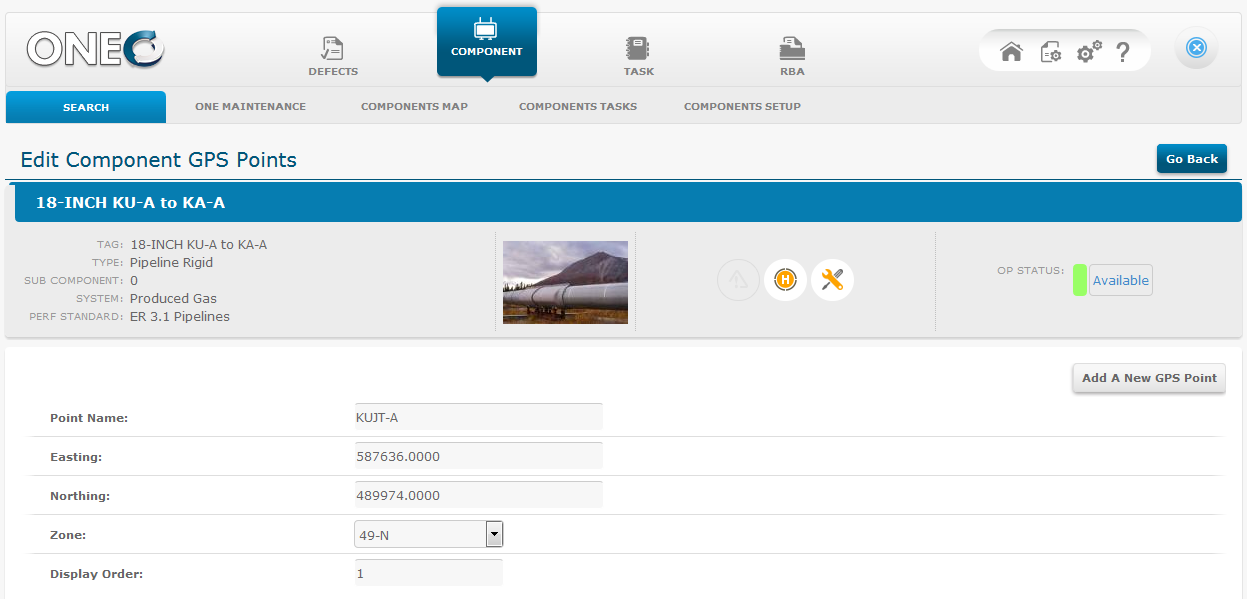
GPS data can be stored as Easting and Northing, decimal degrees or other compatible format.
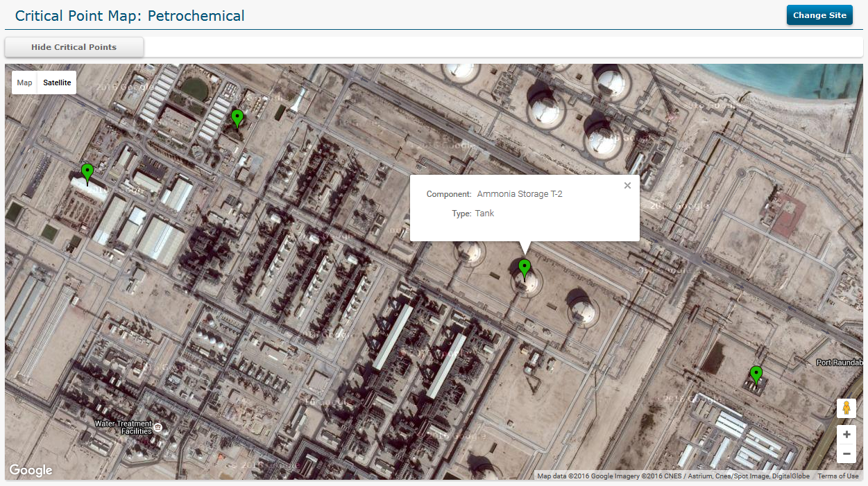
Any level of available data related to the component may be displayed on the maps, as information popups. This includes anomaly heat maps. Both the anomalies and the components have a click through function to open the full record set.
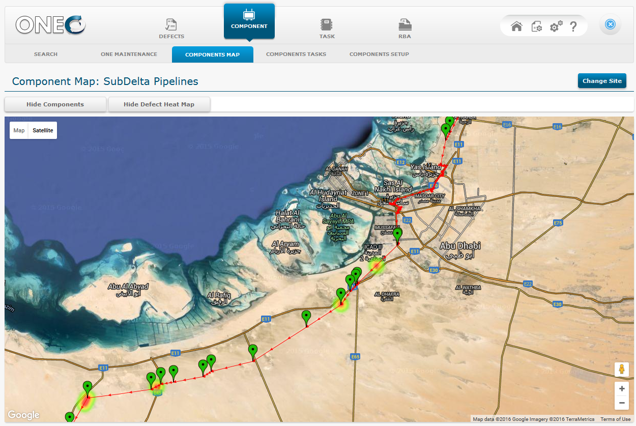
As an example, pipeline segments are handled in ONE as sub components of the main pipeline. Each section can use individual GPS start, end and multiple way points to indicate curves, bends, road crossings or spans.
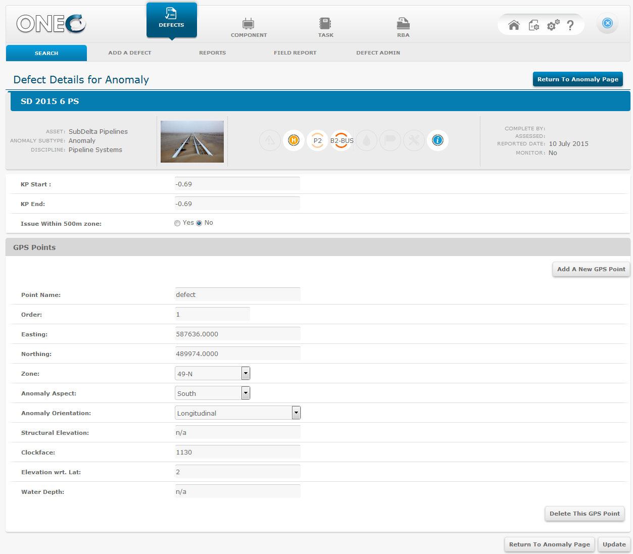
Anomalies on a pipeline type component can also be allocated GPS positioning data points. Each of these GPS points may hold additional descriptors specific to that point.
In this example both onshore & offshore fields are displayed.